
Fill out the form below and we will generate a Google Earth boundary of your Drainage District. The boundary will likely be generated using DevNet rolls, a 1971 Map or other means. Please fill the form so we can generate the product seamlessly.
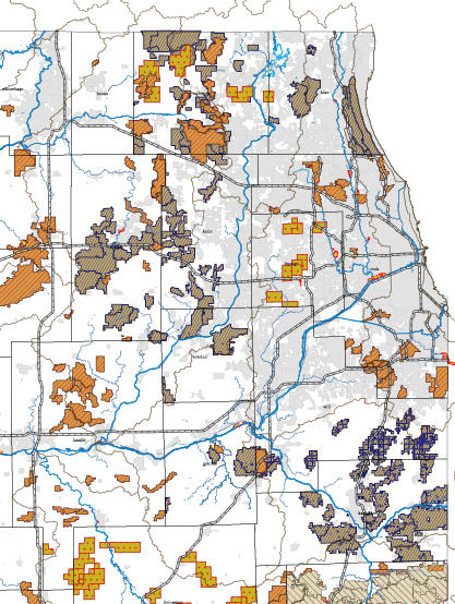
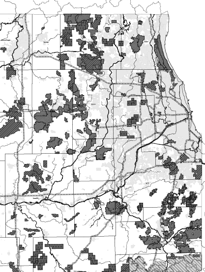
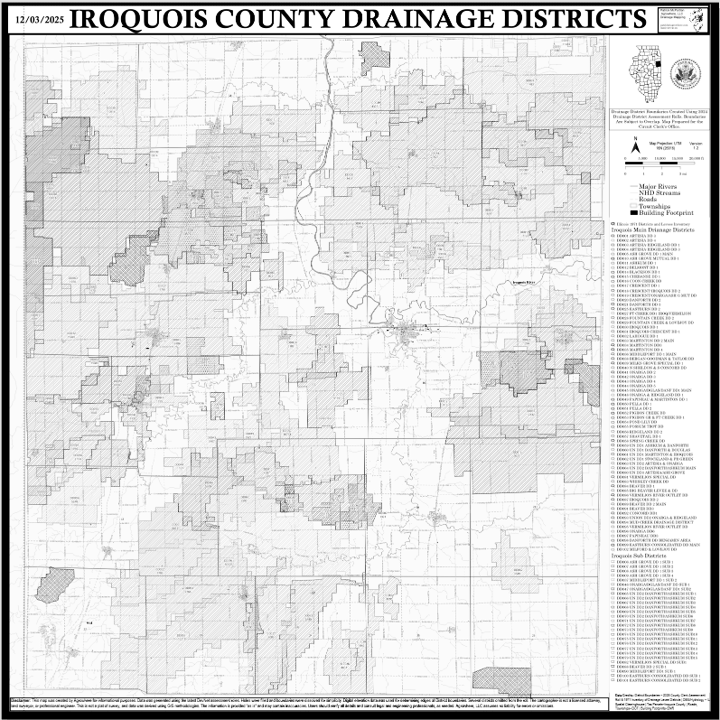
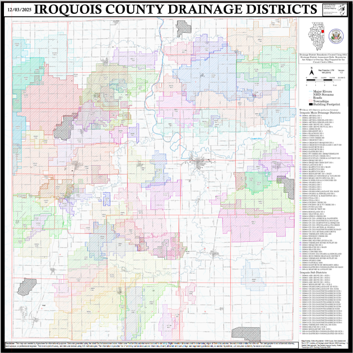
Updated Map of all Drainage and Levee Districts in Illinois as of 12/2025. Various sources are highlighted on the map. The purchase will provide you with a PDF. You can get the map printed individually or you can opt for a print out of the map as a different product option.
Illinois Drainage Enterprises. PDF. 2025. Agrowhere LLC.
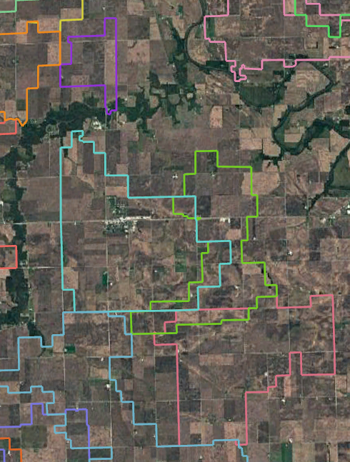
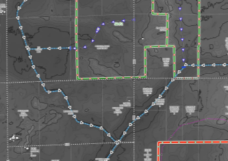
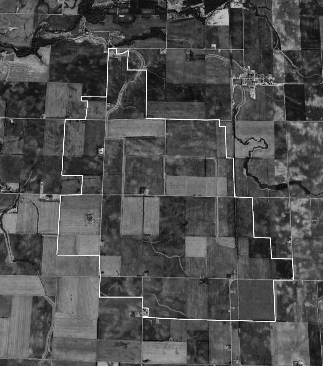
This downloadable file will open directly in Google Earth and show generalized boundaries of Drainage Districts. Source: DevNet data. Data was generated using GIS methodlogies by Agrowhere, LLC. If you have a specific District you’d like isolated, please email patrick@drainageusa.com
No results match your search. Try removing a few filters.