DRAINAGE MAPPING
Services
-
We provide custom Drainage District maps and updated assessment rolls.
Our maps are extremely useful for Drainage District operations, particularly for coordinating with developers, drainage projects, getting accurate collections on levees, and getting a new map recorded at the courthouse.
We work with individual Districts and Counties.
-
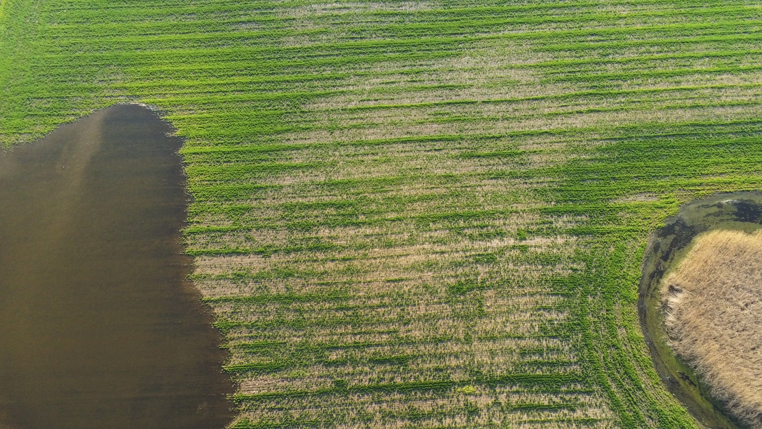
We provide remote and on-site subsurface drainage investigations. These give a picture towards an area of interest’s drainage system.
Having this information is essential for improving existing systems, coordinating with developers and meeting regulatory requirements (when applicable).
-
We’re a professional cartographer, so our maps serve a variety of different end users, particularly: landowners, small villages, drainage contractors, conservation professionals and more.
We strive to make our maps as user-friendly as possible.